Skip to content
Image Mapping
  • About the project
  • Methodology
  • Places
    • Lithuania
      • Antaliepte
    • Ukraine
      • Busha
      • Holovkivka
      • Ivkivtsi
      • Stina
    • North Macedonia
      • Krushevo
  • Partners
  • Contacts
  • About the project
  • Methodology
  • Places
    • - Lithuania
      • - - Antaliepte
    • - Ukraine
      • - - Busha
      • - - Holovkivka
      • - - Ivkivtsi
      • - - Stina
    • - North Macedonia
      • - - Krushevo
  • Partners
  • Contacts

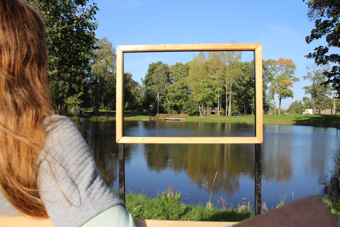
Blog Post Image: The “Image Mapping” route in Antaliepte (2017)

Published 29.10.2017 at 1166 × 778 in The “Image Mapping” route in Antaliepte (2017)

Previous
Next

About Image Mapping

Image Mapping is the project on intercultural dialogue, revitalization and uncovering the beauty of rural communities. IM fosters international personal exchange in the countryside, IM promotes shared non-formal learning during community actions, activates and empowers participants, IM explores the local heritage and promotes it for boosting interest in incoming rural tourism

Contact Details

Pangeya Ultima Creative Programs

image.mapping.org@gmail.com

|

Tag Cloud

BauOrden Eco-center Stina Embassy of Finland Erasmus Plus European Voluntary Service Innovators valley SCI Vinnytsia Region State Administration

With support

embfin

logo-plus_0

Terms & Conditions

Sitemap

Developed by Think Up Themes Ltd. Powered by WordPress.
  • Registration and login
  • About the project
  • Partners
  • Contacts